For many drivers, highways seem like the least dangerous part of their journey, compared to urban roads. But the topic of highway safety is complex, with many factors involved. A recent traffic study in Belgium concluded through microsimulations and conflict analysis, that minor changes to highways’ design can greatly affect the number of conflicts between vehicles, resulting in more safety.
“In Belgium, traffic safety has been on the agenda for a long time, and indeed the number of traffic deaths decreased significantly in the last 20 years”, says Erik Vandermeersch, the transport expert who conducted the study. “But although much has been done, there was less work on quantifying traffic safety based on conflict analysis.”
Vandermeersch is a senior expert on transport modeling and planning at engineering consultancy Sweco. He chose to study highway safety of the ring road around Antwerp, Belgium’s second largest city, as part of the extensive Masterplan Antwerp project.
Complexity of highway safety

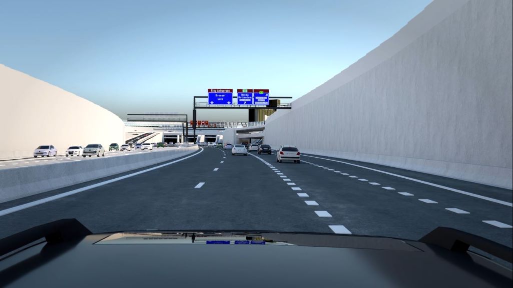
The ring road circling Antwerp is one of the most complicated of its kind in Belgium.
Depending on the location, it has 4-7 lanes with a lot of on and off ramps in short distances from one another. The road has no universal weaving section design, so special road markings are used to guide drivers to the correct lanes. In addition, it has a high level of trucks (around 20%), and a dense population in its vicinity.
“It’s clear that the livability of Antwerp and its transport system is under pressure”, says Vandermeersch of this situation.
He explains: “Belgium is a small country with not much open space. But we’re also a transit country, with heavy international traffic passing through. Combine this with many on and off ramps, lots of trucks and a high population density. Drivers must be very concentrated while driving on highways and other roads.”
To tackle these issues, Masterplan Antwerp was launched. This project involves investments in cycling and pedestrian safety, public transport, open spaces, waterways, and a new highway section that completes the ring road at its north.
Unexpected results
Noticing that the issue of highway safety kept popping up in discussions about the masterplan, Vandermeersch decided to study it through comparison of traffic scenarios. For that, he used a combination of traffic simulation software PTV Vissim, and vehicle safety software SSAM.
“We’ve been using PTV Vissim for over 20 years for detailed evaluations of highways and local roads”, he says, “so we already have a traffic model created with it”.
In the study, Vandermeersch compared different lane markings and weaving solutions of the ring road of Antwerp. This made it possible to choose the best ones, and better understand the traffic situation in detail.
“We had some unexpected results concerning the standard measures for safe road design”, he says, referring to measures such as turbulence distances in front of tunnels and in weaving sections. It appears that highway safety decreased in some sections where those theoretical measures were implemented. There were more conflicts between vehicles, and drivers accelerate more aggressively to avoid incidents.
“By analyzing the traffic flows in more detail, we were able to suggest a set of lane markings that gave better results for traffic safety, but didn’t follow the general rules of thumb”, says Vandermeersch.

The next highway safety studies

The most important conclusion from the study is that it is not possible to adopt a general safety solution to all highways in Belgium. Traffic planners should instead analyze every set of weaving sections separately and identify the most effective safety solutions.
What’s next? This study of highway safety will be conducted in other places on the request of the Government of Flanders (The Dutch-speaking part of Belgium).
Vandermeersch emphasizes that highway traffic safety is affected by many other factors, such as urban planning, the environment, speed limits, and building processes. Traffic models, like the one in his study, do not calculate those factors. But, he adds, “by quantifying some elements of traffic safety, the discourse about it broadens and we’re able to tackle more issues”.
Related Posts


Undoubtedly, an important aspect of total roadway safety is intersection safety. Additionally, due to the nature of the safety issue at junctions, solutions frequently call for coordinated effort from a range of traditional and atypical partners. I’d like to read more articles like this.